- April 24, 2024
-
-
Loading

Loading

Should there be a committee tasked with creating a vision for the west side of Ormond Beach?
At least one Planning Board member thinks so. During her comments at the end of the Planning Board meeting on Thursday, Aug. 13, member Angeline Schull said that, with the growth happening west of I-95, she would like to see a group tackle that corridor and create plans and objectives to guide development, similar to what Ormond MainStreet does with the downtown.
“I don’t know how MainStreet got started, but it would be nice to have a group that focused on that area," Schull said. "That’s where we’re growing.”
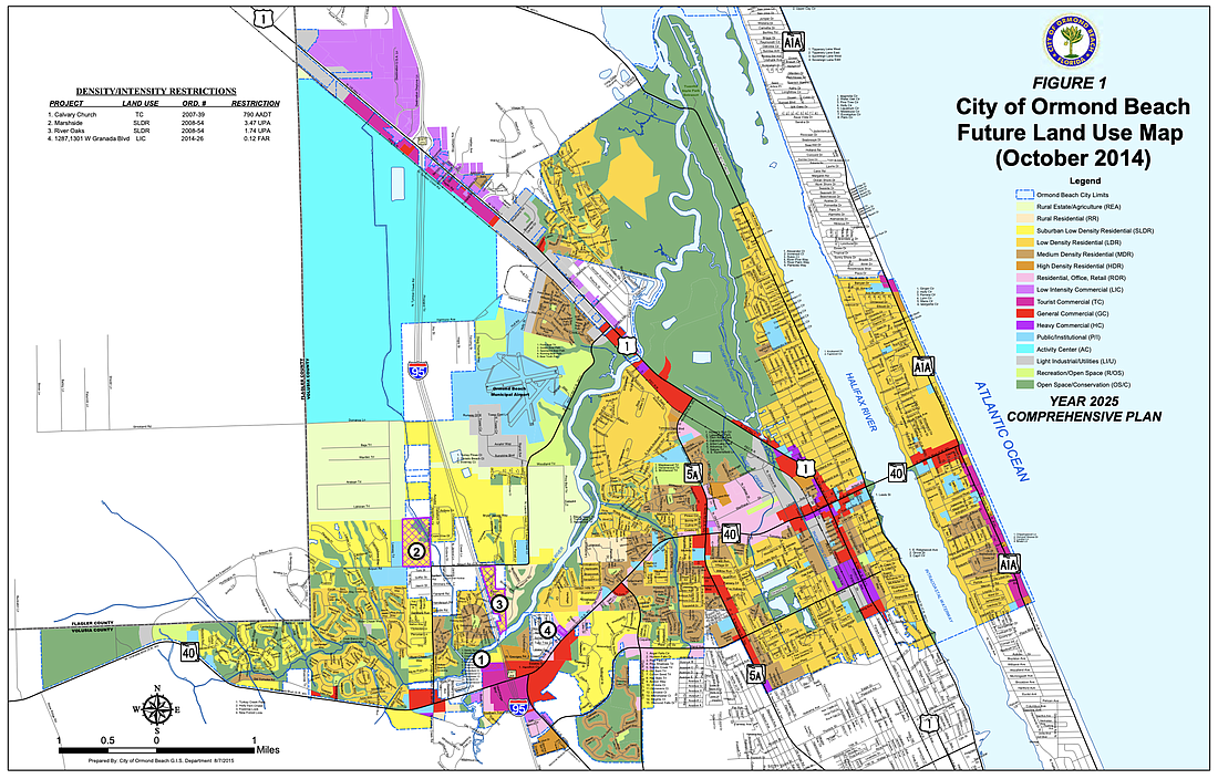
Planning Director Steven Spraker said someone would have to "champion" that initiative, and explained that the goals, policies and objectives for development in that corridor are already in the city's comprehensive plan, which was updated after the OB Life community meetings in 2018.
Spraker also said there has been "relatively little growth" in Ormond west of I-95 since 2010. The parcel for the proposed Tymber Creek Aparments project is one of the last, accounting for about 30 of the approximate 40 acres still available for development. The land north of Hunter's Ridge is unincorporated Volusia County, and to the south is the city of Daytona Beach. Avalon Park Daytona, he pointed out, is a whole different ballpark.
“Your guiding document, like the MainStreet guiding document, is your comprehensive plan and your land development code, which already establishes what they can and can’t do," Spraker said.
Staff he said, however, would be happy to work with any group interested in undertaking a vision for that corridor.
In that same vein, Planning Board member Harold Briley asked if there was a possibility to establish a community redevelopment area in the southern portion of U.S. 1, also known as South Yonge Street, in Ormond Beach.
Spraker responded that the city conducted a blight study in that area about four to five years ago, and that the chances the county could issue a CRA are low. A new CRA today needs project-specific improvements, he said, similar to what went on at Ormond Crossings.
Another challenge in that corridor is the proximity of residential and commercial, and Spraker said it would be difficult not to encroach into residential areas, something city staff has no desire to do.
“So you’re kind of stuck between a rock and a hard place," he said.
Planning Board member G.G. Galloway said a group conducted a study on U.S. 1 from Edgewater to Destination Daytona, and the findings suggested there is more blight along that highway in comparison to the beachside. He suggested that Spraker bring up the discussion to other city planners.
“We seem to forget that U.S. 1 was our interstate in the 20s, 30s, 40s, and 50s, and it’s really bygone," Galloway said. "Until the cities and the county get together and do something, it’s going to be like that for a long time.”