- April 26, 2024

-
-
Loading
Loading
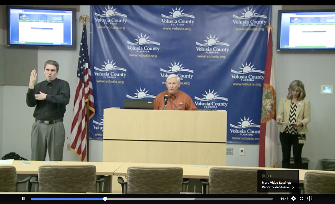
Volusia County is sheltering 1,160 people in its 15 emergency shelters, and expects more through tomorrow as people prepare for Hurricane Dorian, Volusia County Emergency Management Director Jim Judge said in a news conference the evening of Monday, Sept. 2.
"We still have a 2,872 capacity, and of course that could expand if necessary," Judge said. "We feel like tonight [is the] final time to get all your preparations ready and do the evacuation, so we anticipate that we’ll continue to have folks coming into those shelters though the evening hours and also again tomorrow morning."
The shelters opened at 10 a.m. Monday. Only one shelter — Hinson Middle School — was at or over capacity. Hinson, which has a capacity of 150, is sheltering 172 because it received a number of students from Embry-Riddle Aeronautical University, Judge said.
For details on county emergency shelters, including special needs shelters and pet-friendly shelters, go to https://www.vcsedu.org/news/hurricane-dorian-updates.
Tropical-storm-force winds from Hurricane Dorian are expected to arrive in Volusia County sometime between 4 p.m. and 10 p.m. Tuesday, Sept. 3, Judge said.
"It's very slow moving; it’s only about 1-2 mph right now, and it did stall for some time," Judge said.
That has produced a longer time frame for the arrival of serious winds than initially predicted. Still, Judge said, people who have taken shelter already should remain there, especially if they have transportation issues: Votran, the county's bus line, will not be running Tuesday.
"This is going be a multi-day event," Judge said. "Once we get into the evening hours on Tuesday, the afternoon hours, for the start of tropical-storm-force winds, we anticipate that's going be a 24-hour process. We're going to be late in the evening on Wednesday night, and then we're going to want folks to shelter with us Wednesday night overnight and then of course we will assess the conditions in the county Thursday morning, see how much debris we've had, power lines down, making sure our public works are able to get out and clear the roads."
With the current forecast that shows Dorian remaining offshore, winds are expected to be 40-50 mph and accompanied by 4-10 inches or rain.
And, Judge said, "A simple shift to the coast could be quiet devastating."
Storm surge is expected to be 4-7 feet and worsened by four tide changes, including king tides. That will affect the Halifax River, Judge said.
"Folks that live along those areas, they need to be aware of that and monitor their conditions very closely," Judge said.
A curfew will be in place 6 p.m. to 6 a.m. on Tuesday and Wednesday for cities and unincorporated areas east of the Halifax River.
County officials are concerned about young people surfing as the storm approaches.
"Undertow, rip currents and things like that can be quite dangerous," Judge said. "We’ve got the double red flags flying, and so we’re encouraging people to stay out of the water."
He added that debris swept up by the storm will add additional risk.
"They’re taking their lives into their own hands in doing those things," he said. "So, all we can do is encourage them not to do it. Double red flags are flying. Life guards aren’t on the beach, but you know, the surf for a lot of these kids is pretty compelling."